Conference platform integrations

Interactive venue map: visitors find the booth and the hall from their phone

Upload the hall plan and pin booths, halls, entrances, prayer rooms, toilets, information and refreshments; visitors open it on their phone with zoom and pan.

The venue map on the Kunoze conference platform turns an image of the hall or exhibition plan into an interactive map visitors open on their phone, zooming and panning to see booths, halls, entrances and facilities. The organiser places pins by clicking on the plan and links each booth to the sponsor occupying it, and the map carries no personal data.

Setup steps
  1. 01Prepare the plan image

    Export the hall or exhibition plan as PNG, JPG or SVG; a simplified plan with clear lines works better than construction drawings full of detail visitors do not need.

  2. 02Upload it in the venue map tab

    Under the «setup» group in the conference admin, open the venue map tab and upload the image; it can be replaced later if the layout changes.

  3. 03Place pins with a click

    Click where each element sits to add a pin, choose its type (booth, hall, entrance, prayer room, toilets, information or refreshments) and name it in Arabic and English.

  4. 04Link booths to sponsors

    Each booth pin has a booth number and can be linked to a sponsor registered for the conference, so the sponsor's name shows when a visitor taps the booth.

  5. 05Publish the link

    Share the public map link with visitors and exhibitors; it also appears automatically in the map tab of the attendee app.

Why does an exhibition need an interactive map?

At large exhibitions beside a forum, the same questions come up at every entrance: where is the entity's booth, where is the hall, where is the prayer room? Fixed signs help only at the entrance, and printed maps change hours before opening. A map on the phone travels with the visitor and updates the moment the organiser moves a pin.

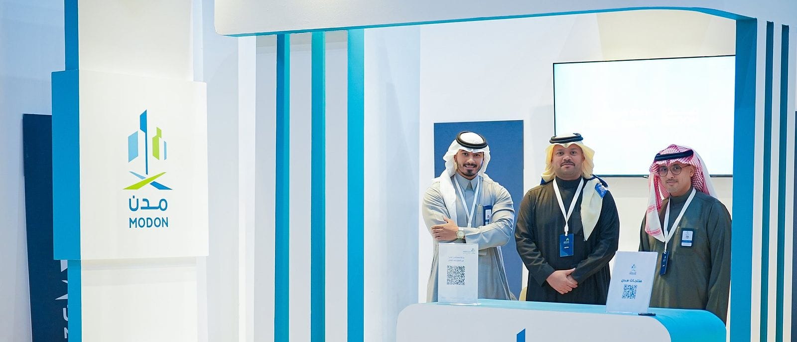
The investment forums Kunoze has delivered, such as the Aseer Investment Forum 2025, were built around an exhibition of entities and models beside the main hall, exactly the kind of exhibition that benefits from a clear booth map.

Which pin types can you place?

  • Booth: with its booth number, optionally linked to a sponsor.
  • Hall: the main hall, session rooms and workshops.
  • Entrance: visitor gates and a VIP entrance if there is one.
  • Prayer room and toilets.
  • Information: the registration desk and help point.
  • Refreshments: coffee and break areas.

Every pin has an Arabic and an English name, so it shows in the visitor's language.

How do visitors use the map on a phone?

The map is built for phones first: visitors pinch to zoom, drag to pan and tap any pin to see its name, type, booth number and sponsor. They open it from a public link with no ticket, or from the map tab in the attendee app. Because it holds no attendee names or personal data, the link can safely go on venue signage and in exhibitor messages.

How does the map fit into exhibition planning?

The map is the last step in a chain that starts with the floor plan and booth allocation. Before it, you size each booth and its expected visitors with the booth capacity calculator, choose between shell scheme and custom-built booths, and send exhibitors the exhibitor manual. Once the final allocation is approved, the map becomes the version visitors see.

How do you update the map when the layout changes?

The organiser drags any pin to its new position, edits its name and type, or deletes it, and can replace the whole plan image if the hall changes. Changes show to visitors as soon as they are saved, with no reprint and no new link. So upload the plan early and keep adjusting it up to the night before opening.

What are the common mistakes with exhibition maps?

  • Uploading an engineering drawing crowded with construction detail instead of a simplified visitor plan.
  • Leaving out facilities such as the prayer room and toilets, which people ask about most.
  • Booth numbers on the map that do not match the signs on the booths themselves.
  • Publishing the link only on opening day instead of sending it to exhibitors and visitors in advance.

Frequently asked questions

Questions about Interactive venue map

Do visitors need a ticket to open the map?

No. The public map opens from a direct link with no ticket because it carries no personal data, and it also appears inside the attendee app.

Which plan formats are accepted?

The platform accepts plan images in PNG, JPG and SVG, and the image can be replaced at any time without losing the pins already placed.

Does the sponsor's name show on its booth?

Yes. Each booth pin can be linked to a sponsor registered for the conference, so the name shows with the booth number when the pin is selected.

Is the map bilingual?

Yes. Every pin has an Arabic and an English name, so the map shows in the visitor's language like the rest of the platform.

Kunoze Consulting · free

Apply this to your event

Running an exhibition beside your forum? Book a free 30-minute consultation and we will design the booth allocation and the map visitors see with you.

  • Goal
  • Audience
  • City and venue
  • Timeline

Your next event deserves a legacy

Send us the idea or the date, and the Kunoze team replies during working hours.

WhatsApp QRScan to chat on WhatsApp
Chat on WhatsApp

A free consultation for your event, wherever it is. Leave your name and number and a project manager calls during working hours, or book a time now.

Or book a specific time